Time: 2024-06-05
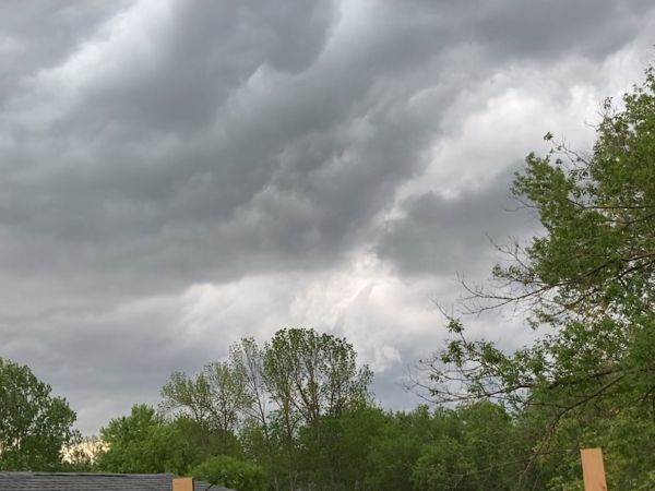
Residents in northwestern Ontario are advised to stay vigilant as severe weather, potentially including tornadoes, is expected today. The region is under a tornado watch as conditions are favorable for the formation of severe thunderstorms.
A tornado watch has been issued for various areas in northwestern Ontario, including Dryden, Vermilion Bay, Fort Frances, Emo, Rainy River, Kenora, Nestor Falls, Ear Falls, Perrault Falls, Western Lac Seul, Sioux Lookout, and Eastern Lac Seul. The development of funnel clouds and weak tornadoes, along with strong winds, large hail, and heavy rain, is possible.
A line of thunderstorms is expected to move eastward through the region this afternoon or evening, bringing the risk of strong wind gusts and tornadoes. The humid air mass in the area may lead to heavy rainfall and severe downpours.
It is essential to be prepared for severe weather and take immediate cover if threatening conditions are approaching. The storm activity is expected to peak late Tuesday afternoon and subside by midnight, but the tornado threat remains.


 Business
